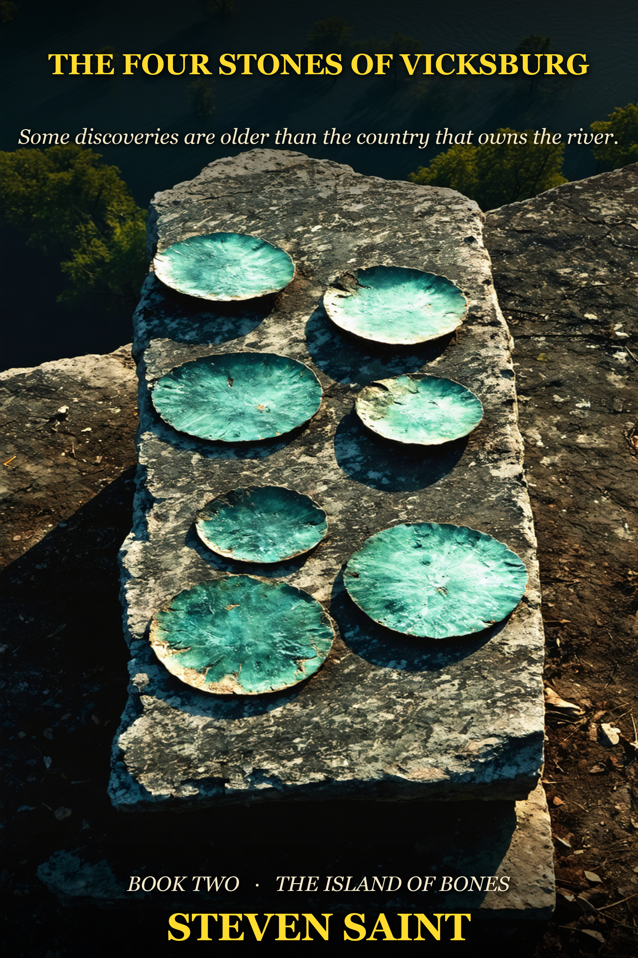
The River Turn (working title)
The chain reaches the Mississippi.
The River Turn (working title)
The chain reaches the Mississippi.
Salt River pointed two ways. The northern bearing — 287°47’T, the one Iris and Kwame solved in the last hour of Book One — points west-northwest to Cayo Hueso and onward, at a second angle, deeper into the continent than any Caribbean codec has any business going.
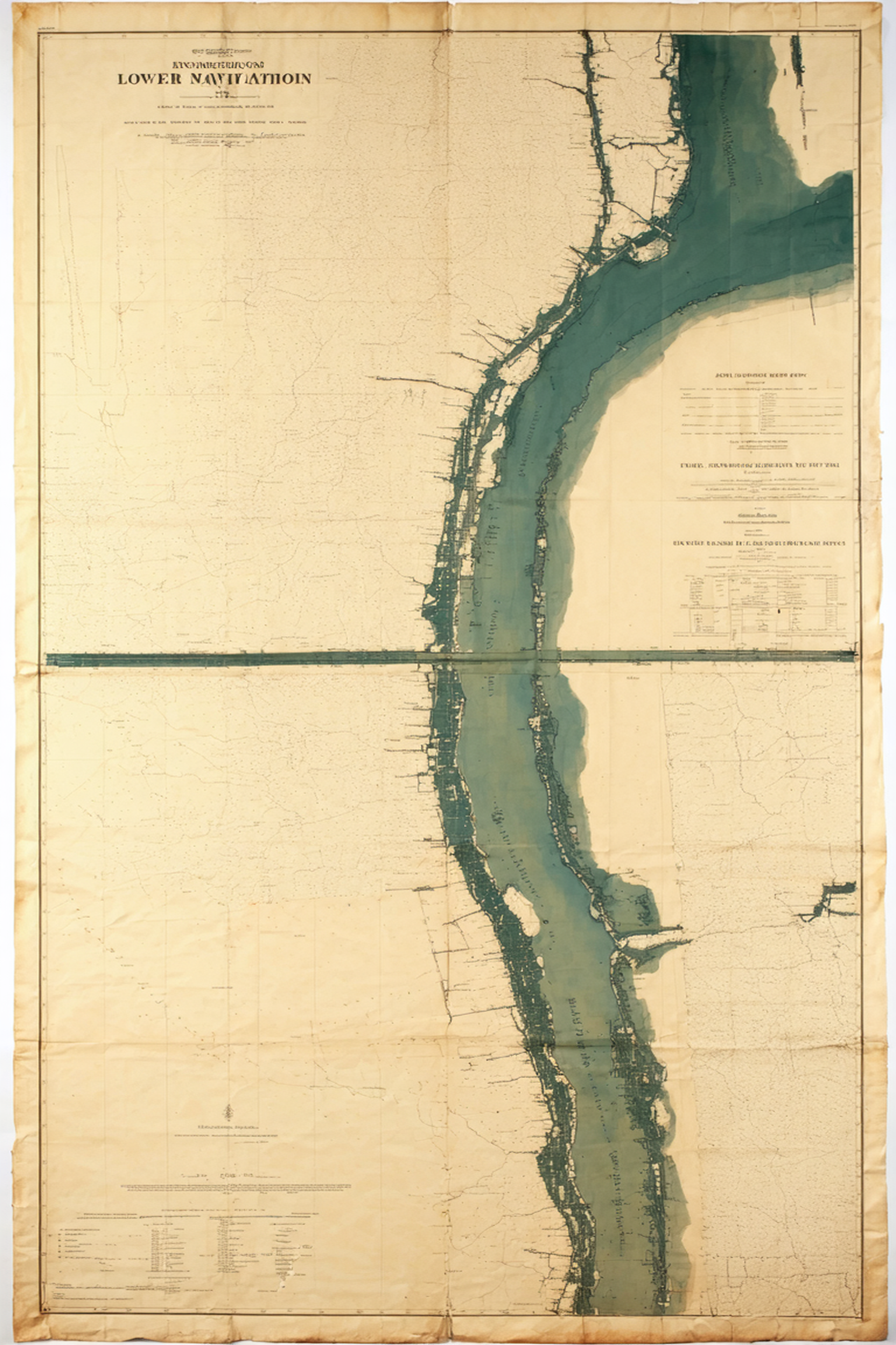
The second volume of Island of Bones takes the chain inland. The Vicksburg slab is the next northern-branch node, cut into the high east bank of the Mississippi by hands that should not, by every official chronology, have been there to cut it. A Brethren-of-the- Coast captain drowned a parallel fragment in Port Royal in 1692; the quake that sank the city sank his clue with it. Both rise here.
The Jefferys 1771 and de la Rochette 1784 charts — the two real period charts that disagree about the Virgin Islands in a way that no honest cartography ever should — finally pay off. The pattern of their disagreement gives the Mississippi corridor’s hidden bearings.
And on a quiet Park Headquarters morning, a director who has been a channel-of-leak for fourteen months is named.
The Caribbean whiplash: out of the islands fully.
⌒ The map of Book Two